Kanto Plain
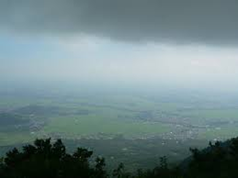
The Kanto Region is located on the largest island in Japan otherwise known as Honshu. The Kanto Region is a plain that is on the east border of Japan. It is has a very large population and includes the largest metropolitan area in Tokyo. It also consists of the seven prefectures which are Gunma, Tochigi, Tokyo, Chiba, Ibaraki, Saitama, and Kanagawa. These seven prefectures take up about 45% of the Kanto Plain. The Kanto Plain is 6,244 square miles containing the capitol city of Tokyo. It is the lowest area in elevation, but is very prosperous and populated. It includes the Western Tama Hills, many plateaus making up most of the plain, and the Tone River system. The plateaus have volcanic ash also known as Kanto loam, on top of them including sediments. The Tone River system includes the Sagami, Tone, and the Naka river systems stretching from the Northeast flowing down to the Southwest. The upstream part of the river system is dry while the middle and the downstream sections are more wet and swampy. The Kanto Plain is bordered by mountains and hills.
Click Here to go back
Click Here to go back
